
ENGIS is the digital land administration platform of Enugu State.
ENGIS is where Enugu State manages its land digitally.
ENGIS brings land records, property and parcel mapping, land applications, document management, spatial information, verification, payments, and automated workflows into a single, connected digital platform.
ENGIS is where Enugu State manages its land digitally.
The Enugu State Geographic Information System (ENGIS) is a state-led digital platform designed to manage, digitize, map, verify, and administer land across Enugu State.
For government, ENGIS provides the digital infrastructure to manage Enugu State’s land more efficiently, maintain reliable records, improve oversight, automate processes, and make better decisions using accurate spatial data.
Hover a local government area to preview it
Land Administration,Reimagined for Enugu.
Every application, every title, every survey and every transaction brought together in one secure digital environment — making land services simpler, faster, transparent and trusted.

Fresh Application
Secures land rights, prevents fraudulent claims, and guarantees authenticity in property ownership.

Recertification & Regularization
Validates ownership records and transforms unregistered plots into recognized, compliant assets under state land administration standards.

Verification & Search Report
Validates land titles and provides verified land information, ensuring authentic ownership, transparency, and fraud prevention.

Survey Services
Delivers precise surveys and maps to define boundaries and support land administration.

Pay A Bill
Enables secure, seamless payments for land services, reducing delays and ensuring compliance.

Forms & Resources
Provides instant access to official land forms, guides, and support materials.
How ENGIS Works
To access ENGIS land services, every user must first create an account on the ENGIS Portal. Your account provides a secure digital identity that allows you to access services, submit applications, manage documents, make payments, and track the progress of your requests.
Create Your ENGIS Account
Register on the ENGIS Portal using your personal or organization details and create your secure login credentials.
Verify Your Account
Complete the required verification process to activate your ENGIS account and ensure that your information is properly authenticated.
Access Land Services
Once your account is activated, log in to access the available ENGIS services, including land applications, land searches, verification, documentation, payments, and other land-related services.
Submit Your Application
Select the service you require, provide the required information, upload supporting documents, and submit your application digitally.
Track Your Application
Monitor the progress of your application directly from your ENGIS account. You can view updates, requests for additional information, processing stages, and other relevant notifications.
Make Payments
Where applicable, generate the required bill and complete payment through the available digital payment channels.
Receive Your Documents & Updates
Once your application or service has been processed, relevant documents, approvals, notifications, or other outputs can be made available through your ENGIS account.
One Account. One Portal. All Your Land Services.
- Create account
- Verify account
- Select a service
- Apply online
- Track application
- Make payments
- Receive documents
What is ENGIS?
ENGIS is the digital land administration platform of Enugu State.
The Enugu State Geographic Information System (ENGIS) is a state-led digital platform designed to manage, digitize, map, verify, and administer land across Enugu State.
ENGIS brings land records, property and parcel mapping, land applications, document management, spatial information, verification, payments, and automated workflows into a single, connected digital platform.
For citizens, property owners, professionals, businesses, and investors, ENGIS provides a simpler and more transparent way to access land services, obtain reliable land information, submit and track applications, and manage land-related documentation.
A single, connected digital platform
Property & Parcel Mapping
Spatial information and parcel mapping for land across Enugu State, held as one reliable source of truth.
Applications & Workflows
Submit and track land applications end to end, with automated workflows replacing manual back-and-forth.
Records, Documents & Verification
Land records and document management in one place, so ownership and title information can be verified.
Payments & Land Services
Access land services and settle land-related payments digitally, without a trip to a counter.

Stay informed on land policy
Registry updates, new digitized LGAs, and platform releases — straight to your inbox.
Honest Reviews from our Customers
“I was on the verge of purchasing a piece of land when a friend advised me to verify it through ENGIS. To my surprise, the system flagged the land as already allocated to someone else! ENGIS saved me from a potential scam and a huge financial loss. Their platform is easy to use, and the transparency they provide is unmatched. Every land buyer in Enugu needs this service!”
“I almost lost my hard-earned money to a fake land seller, but ENGIS saved me. Their verification system instantly showed me that the land I was about to buy was already owned by someone else. I highly recommend ENGIS to anyone buying land in Enugu.”
“I was on the verge of purchasing a piece of land when a friend advised me to verify it through ENGIS. To my surprise, the system flagged the land as already allocated to someone else! ENGIS saved me from a potential scam and a huge financial loss. Their platform is easy to use, and the transparency they provide is unmatched. Every land buyer in Enugu needs this service!”
“I almost lost my hard-earned money to a fake land seller, but ENGIS saved me. Their verification system instantly showed me that the land I was about to buy was already owned by someone else. I highly recommend ENGIS to anyone buying land in Enugu.”
From the ENGIS Journal

How to Verify Land Before You Buy in Enugu State
Fake allocations and duplicate titles cost buyers millions every year. Here's the exact search-report process ENGIS uses to confirm a plot is clean.

Understanding the Certificate of Occupancy Process
What a C of O actually proves, how long it takes, and the documents state officials will ask you for.
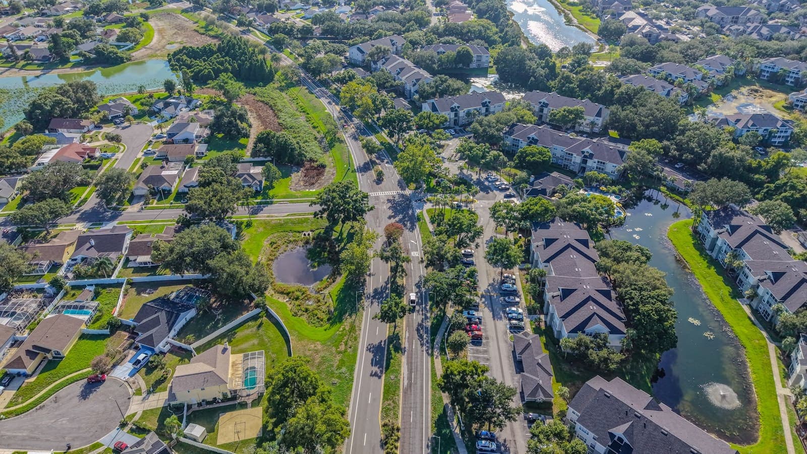
ENGIS Digitizes 5 More LGAs: What It Means for Landowners
Five more local government areas now sit on the central registry, cutting search-report turnaround to hours.
Digitizing Land. Automating Processes. Improving Transparency. Building Trust.
Contact us today to schedule a consultation or to learn more about our services.
Built on Transparency.Guaranteed by the State.
Every transaction authenticated, every title verified, every boundary geo-referenced through the ESHDC central registry infrastructure.
Authenticated Titles
100% cryptographic validity across the ESHDC central registry.
Expedited Pipeline
Digital processing infrastructure reducing latency to 48 hours.
Geospatial Precision
Strategically mapped sites using international land-intelligence standards.
Immutable Tracking
End-to-end transparency throughout the allocation lifecycle.