
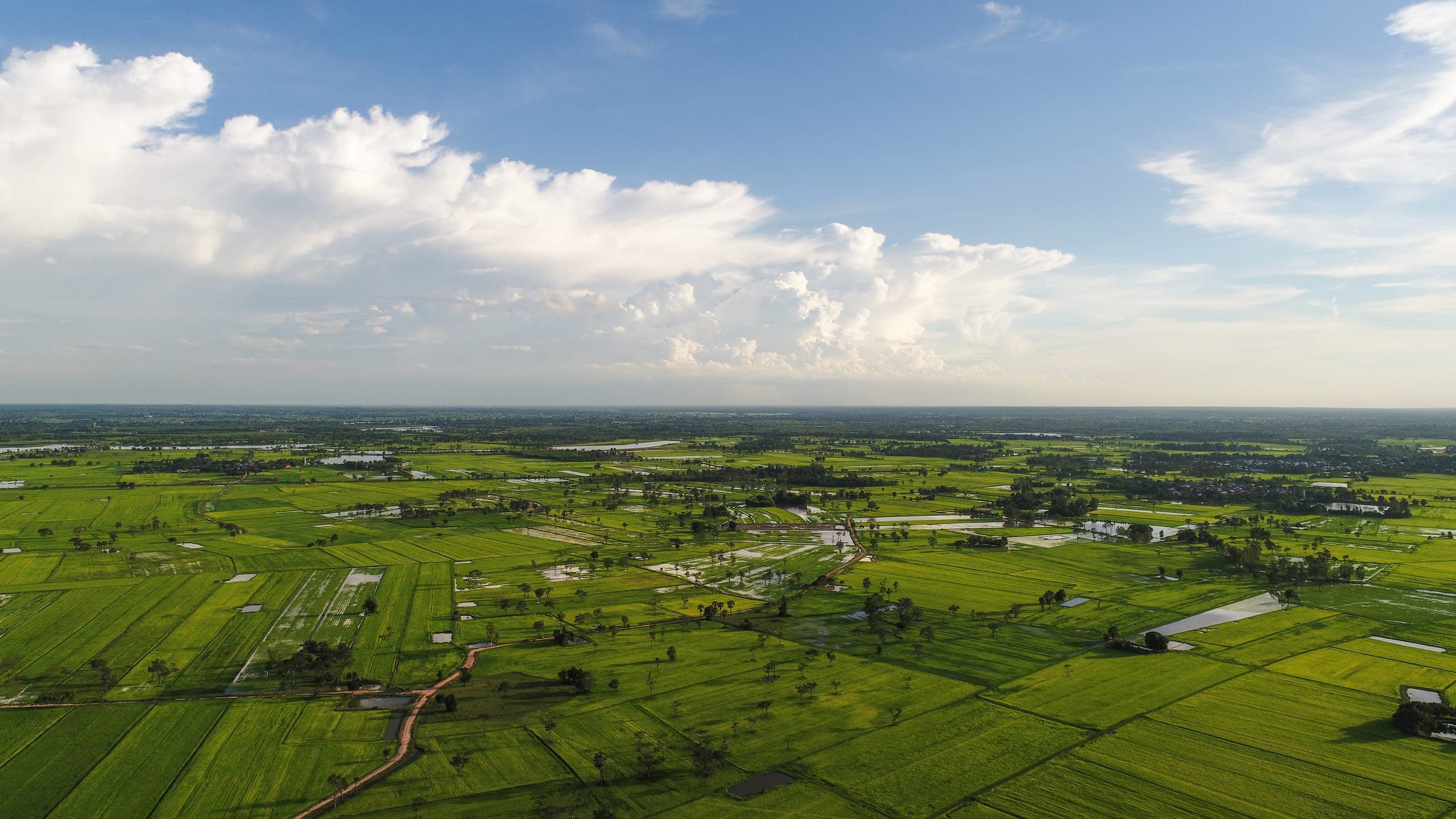
ENGIS is the Digital Land Administration Platform of Enugu State
A state-led digital platform designed to manage, digitize, map, verify, and administer land across Enugu State.
Where Enugu State manages its land digitally
The Enugu State Geographic Information System (ENGIS) is a state-led digital platform designed to manage, digitize, map, verify, and administer land across Enugu State — bringing land records, property and parcel mapping, land applications, document management, spatial information, verification, payments, and automated workflows into a single, connected digital platform.
“To be a world-class geographic information system hub — providing accurate, reliable, and accessible geospatial data that drives economic growth, real-time decision-making, and a better quality of life for the people of Enugu State.”
One connected digital platform
- 01Land records
- 02Property and parcel mapping
- 03Land applications
- 04Document management
- 05Spatial information
- 06Verification
- 07Payments
- 08Automated workflows
Everyone with a stake in land
Citizens & Property Owners
A simpler and more transparent way to access land services, obtain reliable land information, and manage land-related documentation.
Professionals
Surveyors, lawyers, planners, and agents can obtain reliable land information and submit and track applications from one place.
Businesses & Investors
Reliable land information and transparent processes, so land decisions rest on records that can be checked.
Government
The digital infrastructure to manage Enugu State's land more efficiently, maintain reliable records, improve oversight, automate processes, and make better decisions using accurate spatial data.
“As a real estate agent, having access to verified land data is priceless. With ENGIS, I can check ownership records, avoid disputes, and build trust with my clients. It’s a game-changer for the industry.”
Johnnie Ledner, CEO at Litfox
Want to work together? — hello@engis.en.gov.ngDigitizing land. Automating processes. Improving transparency. Building trust.
For government, ENGIS provides the digital infrastructure to manage Enugu State’s land more efficiently, maintain reliable records, improve oversight, automate processes, and make better decisions using accurate spatial data. In simple terms: ENGIS is where Enugu State manages its land digitally.
LGAs Digitized
Verifiable Records
Online Access
Let’s build a safer Enugu, together
Access land services, obtain reliable land information, submit and track applications, and manage land-related documentation — from anywhere.